
M7 after Upgrade
24th May 2026
Few will remember a time before 1983, when Ireland didn’t have any motorways. It was at that time, the 5th of October 1983 to be exact that Ireland’s first motorway, the Naas bypass was opened to traffic. Before then, all traffic heading out of Dublin for Limerick, Cork and Waterford, and going the other way, had to go through Naas.
Even back then, when there were nowhere near as many cars on the road as there are now, it used to take anything up to an hour to get through Naas, from where the dual carriageway coming out of Dublin ends, to going through the town, and onto the dual carriageway between Naas and Newbridge.
When the Naas bypass opened in 1983, you could bypass Naas, but only if you were heading from Dublin to Limerick and Cork, not if you were heading towards Waterford or Kilkenny.
And then in 1990, work started on the Newbridge bypass, together with the Kilcullen link, the latter enabling traffic from Dublin to Waterford and Kilkenny to bypass Naas. The Newbridge bypass opened on the 16th of June 1993, with the Kilcullen link opening on the 24th of October 1994.
When the Naas bypass opened, many people assumed that the speed limit on motorways was 70mph (112km/h). But it wasn’t. The national speed limit at the time was 55mph (88km/h), and that also applied to motorways. Trucks were limited to 40mph (64km/h). It used to be 60mph (96km/h) until the late 1970s. It was reduced in an attempt to conserve energy, due to the oil crisis in 1979.
It was not until August 1992, that the national speed limit was reverted to 60mph (96km/h), and a new motorway speed limit of 70mph (112km/h) was created. The speed limit for trucks was increased to 50mph (80km/h).
Speed limits on Irish roads were expressed in kilometres per hour from the 20th of January 2005, with the motorway speed limit being set to 120km/h.
It was in January 2018 that works started on upgrading the M7 between Junctions 9 and 11. The works entailed provision of a third lane on the motorway in each direction, a bypass for Sallins, to tie into the motorway between junctions 9 and 10, and remodelling of junction 10. The new junction where the Sallins bypass connects into the M7 is designated Junction 9a. At Junction 10, new roundabouts were formed on the Naas-Newbridge dual carriageway, either side of the motorway, and the slip roads to and from the motorway were formed to these new roundabouts. The existing slip roads to the Rathangan Road were removed.
The upgrade works to the motorway were largely completed in early 2020, allowing the speed limit to be restored to 120km/h, but the Sallins bypass wasn’t opened until the 9th of April 2021.
It was during the late summer of 2013 that I made several trips to Naas to take some long exposure images of traffic on the motorway, because at that time, it was coming up to 30 years since the opening of the Naas bypass. Following completion of the upgrade works, I decided to once again, turn that section of the motorway into my art canvas, in other words, take images incorporating light trails of the traffic on the motorway. This will involve going to the bridges over the motorway and taking long exposure images from on top of these bridges.
Flickr Link

I was not going to be able to do the whole motorway, i.e. get light trails images from all the bridges between junctions 9 and 11, in one trip up. There are several reasons for this. Firstly, in the case of some of the bridges, I found that the nearest place I could park was up to 20 to 30 minutes’ walk to the bridge. Secondly, these images could only be taken during the “blue hour”, which is the transition from day to night, and there is generally no road lighting on the motorway, with the exception of the sections near the junctions, and therefore once the sun goes down completely, the lights from the vehicles will be the only light source in the images. Therefore, this project was going to involve several trips up, and taking images from one bridge per evening.
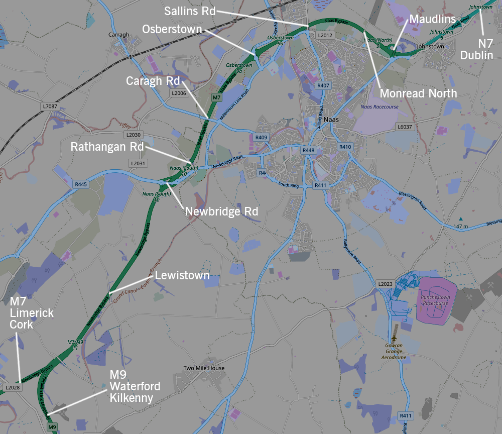
I decided to start at the Maudlins bridge, and then work my way towards Junction 11, where the M9 branches off the M7.
I started this project during mid-March 2026, about two weeks before the clocks went forward at the end of March. I chose this time because I thought that the traffic on the motorway was not going to be too heavy when the sun goes down, and not as heavy as it would be at, say, 5 to 6 o’clock in the evening, which was when it was getting dark during the months of January and February. I finished the project during the May bank holiday weekend, when it got dark shortly after 9:30pm, and the there was still a considerable amount of traffic on the motorway at that time, so it was still easy to end up with an overexposed image as a result of having too many vehicles pass through while the shutter is open on the camera.
A typical evening would entail arriving at the location between sunset and civil end. Civil end is when the sun is approximately 6 degrees below the horizon, around the time the sky is dark enough to allow me to start getting night shots. I use an app called the Photographer’s Ephemeris, to determine the sunset and civil end times at each location. At the start of the shoot, I have the aperture turned down to, say f/22. As the evening progresses, and as it is getting darker, I would gradually turn up the aperture, for example, to f/18, then to f/13, then f/10. I would start by taking images facing east, i.e. towards Dublin. Then when I have taken a few images that look good on the camera’s display, I go across to the other side to take images facing west, until the sky is almost completely dark.
In terms of the weather, apart from the rain, one needs to be wary of wind, as this can mess up a photoshoot, by causing the camera to shake. And often it will appear that the camera was mounted sturdily on the tripod, and when you go to check the image on the camera’s display immediately after taking it, it may look as though it came out satisfactory. However, it is not until you get home and download the images from the camera onto the computer, and look at the images on the computer screen, that you discover the impact of the wind on the images becomes apparent – in the light trails appearing wavy rather than dead straight. Fortunately, I got days of dry and calm weather. It goes without saying that there is no point going out during fog or mist. That said, I don’t mind it being a little too cold during and after sunset; I can wrap up accordingly.
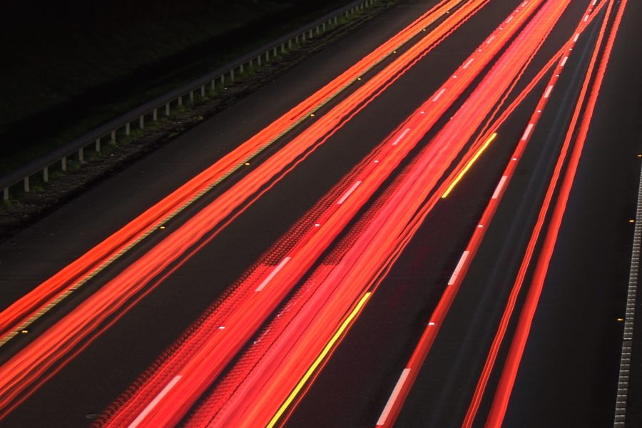
Whenever I go taking long exposure images on a motorway from a bridge or whatever, I have an ideal image in my head, and that is a balanced image, in which vehicles are occupying all lanes, in both directions, and there is an equal volume of traffic in each direction, with the result that neither side is under- or overexposed. Furthermore, I tend to form an opinion that high vehicles, for example, trucks or buses would make an image lopsided, due to the fact that many of them have lights at high level, as well as at knee level.
I would take about 20-30 images of traffic from one side of a bridge, before going to the other side, and take images until it gets completely dark. Sometimes only 3-4 of these images are somehow presentable. Below are some examples of images that don’t make the cut.
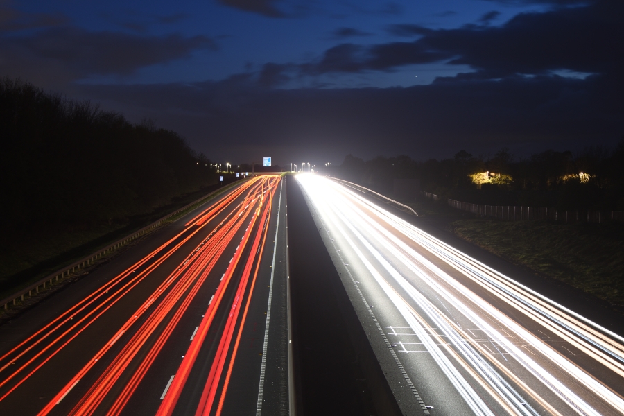
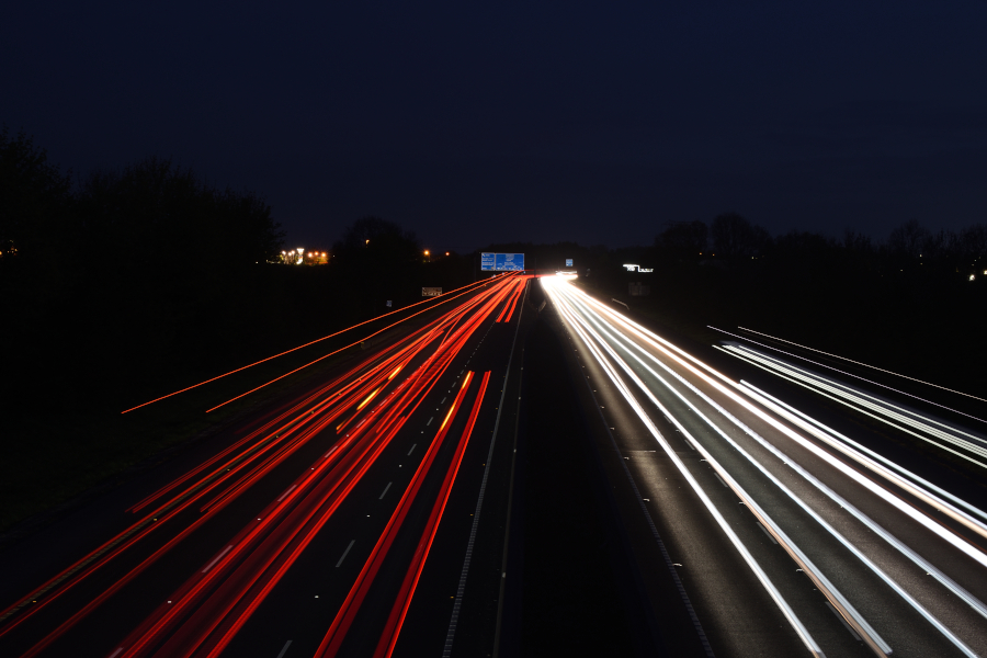
Some of the bridges have footpaths on one or both sides, others only have hard shoulders wide enough for me to set up the tripod. However, there were a few locations with neither a footpath nor a hard shoulder, and consequently, I could not set up the tripod without forcing motorists to encroach to the other side of the road to get past me. One such location was the Osberstown bridge facing east. However, there were steps going from the side of the bridge, down to the underside of the deck, and I was able to set up the tripod at the top of the steps so that I could take images facing towards Dublin, and being out of the way of traffic. However, on the Rathangan bridge, I decided it was too dangerous to set up the tripod on the side of the bridge facing west.
That said, it is clear that wearing a hi-viz vest is strongly recommended. And after that, all I could do is trust that motorists will stay off their phones and pay attention to the road ahead of them.
Flickr Link
